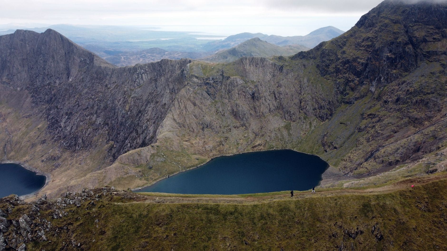
Eryri — Snowdonia on most maps — squeezes nine mountain ranges, 74 miles of coastline and 1,497 miles of signed walking routes into 823 square miles of North Wales. At the centre stands Yr Wyddfa (Snowdon), 1,085m and the highest summit in Wales and England, drawing more than 600,000 walkers a year. It's far from the only day out here.
This guide splits the park's best hikes into three tiers — easy valley and lakeside paths, moderate summits, hard ridges with scrambling — with the stats, start points and logistics you need to pick days that match your legs, not an influencer's.
Snowdonia Hikes at a Glance: How to Choose
Two names, one place. The park has been officially Eryri since 2022, and Snowdon has been officially Yr Wyddfa — pronounced roughly "ur with-va". Both names appear on signs, maps and bus timetables, so treat them as interchangeable.
Beyond the Snowdon massif, the walking spreads across the Glyderau, Carneddau, Moelwyns, Rhinogydd and the Cadair Idris range in the south. Nine ranges in total mean you can almost always find one side of the park in better weather than the other. Three tiers run through this guide: easy means valley and lakeside paths on made tracks; moderate means proper mountain summits with no scrambling; hard means grade 1 scrambling, exposure and routes where one slip matters.
Start here. Six routes, one from each tier and range, so you can see the shape of the choice before reading on.
| Route | Distance | Ascent | Time | Difficulty | Crowds |
|---|---|---|---|---|---|
| Yr Wyddfa via Pyg & Miners' Tracks | 12.1 km | 841 m | 4.5–6.5 h | Hard (no scrambling) | Very busy |
| Snowdon Horseshoe via Crib Goch | 11.5 km | 1,161 m | 6–8 h | Very hard (Grade 1) | Busy |
| Tryfan North Ridge | 4 km | 469 m | 2–3 h | Hard (Grade 1) | Busy |
| Y Garn via Devil's Kitchen | 8 km | 714 m | 3.5–4.5 h | Moderate | Moderate |
| Cnicht from Croesor | 12.1 km | 649 m | 4–5.5 h | Moderate | Quiet |
| Aber Falls | 6.9 km | 305 m | 2–3 h | Easy | Moderate |
Every route in the table gets a full entry below, plus more at each level. One rule before any of them: the mountain sets the timetable, not you.
Hiking Yr Wyddfa (Snowdon): Six Routes Compared
Six main paths lead to the summit, all graded hard or strenuous by Visit Wales, with 6–8 hours for the round trip on any of them. Which one you pick comes down to fitness, weather and how many people you want to share it with.
Llanberis Path — the forgiving one
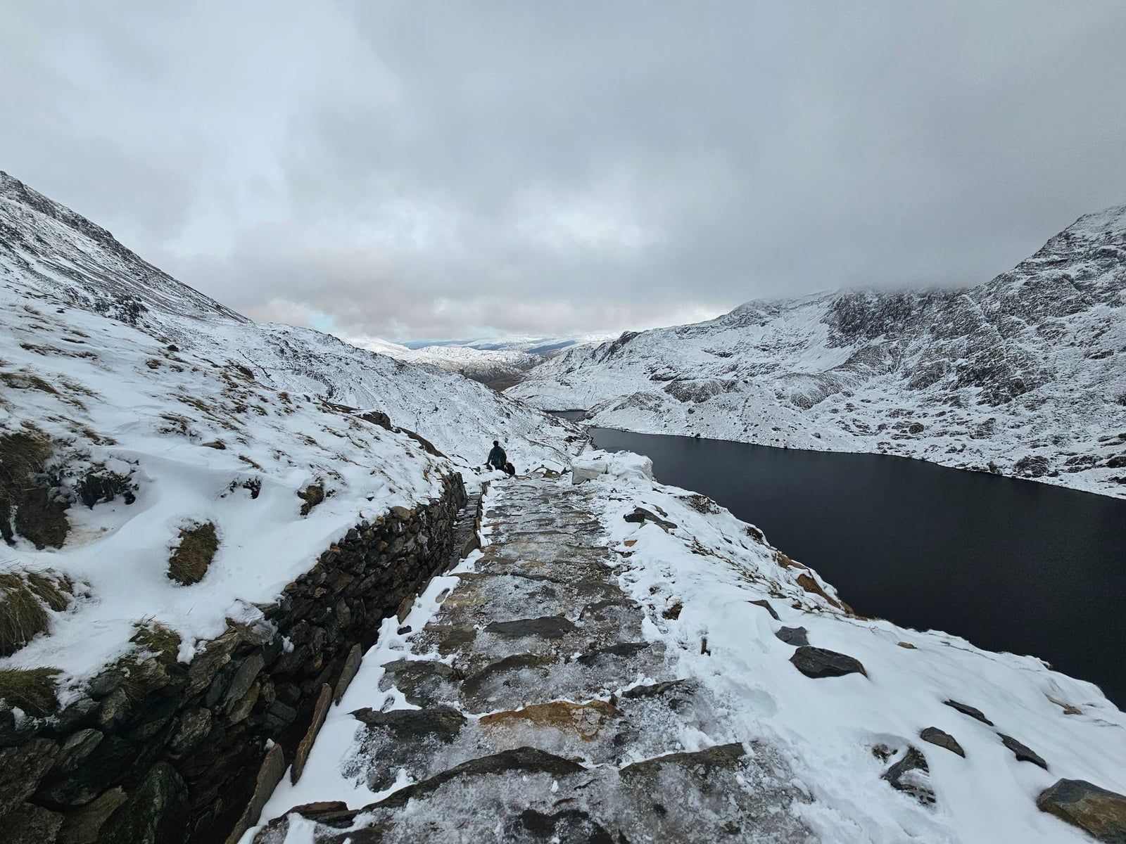
At 14.6km with 983m of ascent (5.5–7.5 hours), this is the longest route but the gentlest gradient, tracking the mountain railway line from the far end of Victoria Terrace in Llanberis. It's the standard first-timer's path and the one to pick if Crib Goch sounds like a nightmare rather than a dare. Expect company — everyone's first summit tends to be this one or the Pyg.
Pyg Track up, Miners' Track down — the classic
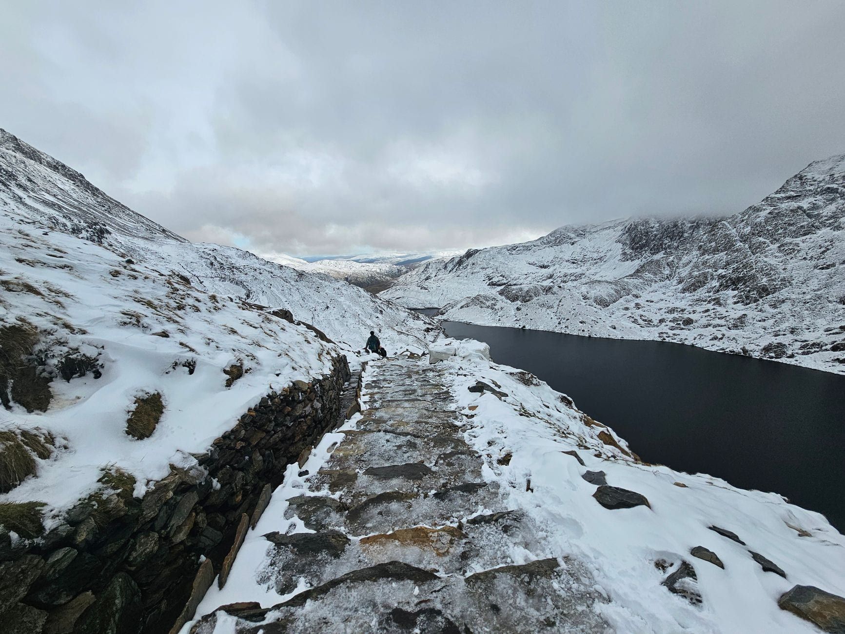
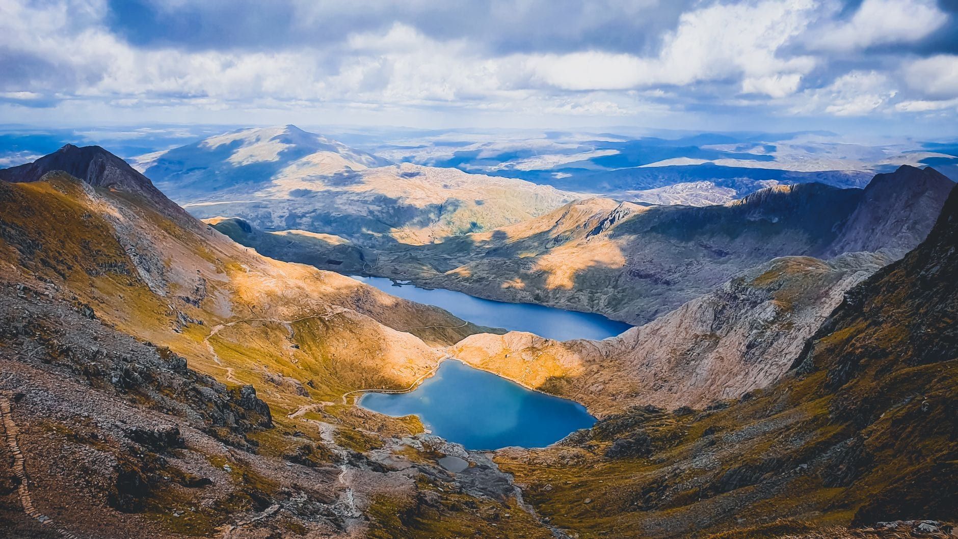
Both paths leave Pen-y-Pass, giving the shortest day: 12.1km, 841m of ascent, 4.5–6.5 hours. The Pyg is rugged underfoot, with steep stepped sections where some walkers use their hands near the top; the Miners' Track was originally built to haul copper from the Britannia Copper Works and now serves up the corrie lakes, including Llyn Llydaw, on the descent. Do it in this order — descending the Pyg's loose steps is harder work than climbing them.
Watkin Path — the scenic slog
The Watkin is the longest and climbiest of the six at 14.2km and 1,013m of ascent (5.5–7.5 hours), and it's the one most often quoted as the most scenic. You earn every metre. It's also the route that finishes closest to the summit, so the final hour is steep.
Rhyd Ddu and the Snowdon Ranger Path — the quiet side
The Rhyd Ddu route runs 14.8km with 977m of ascent on the mountain's quiet western flank, and the nearby Snowdon Ranger Path averages 2¼–3 hours up. If you've done Pen-y-Pass already and want the same summit with half the people, this is your side. Rhyd Ddu is also the trailhead for the Nantlle Ridge, covered below.
Crib Goch — read this before you go
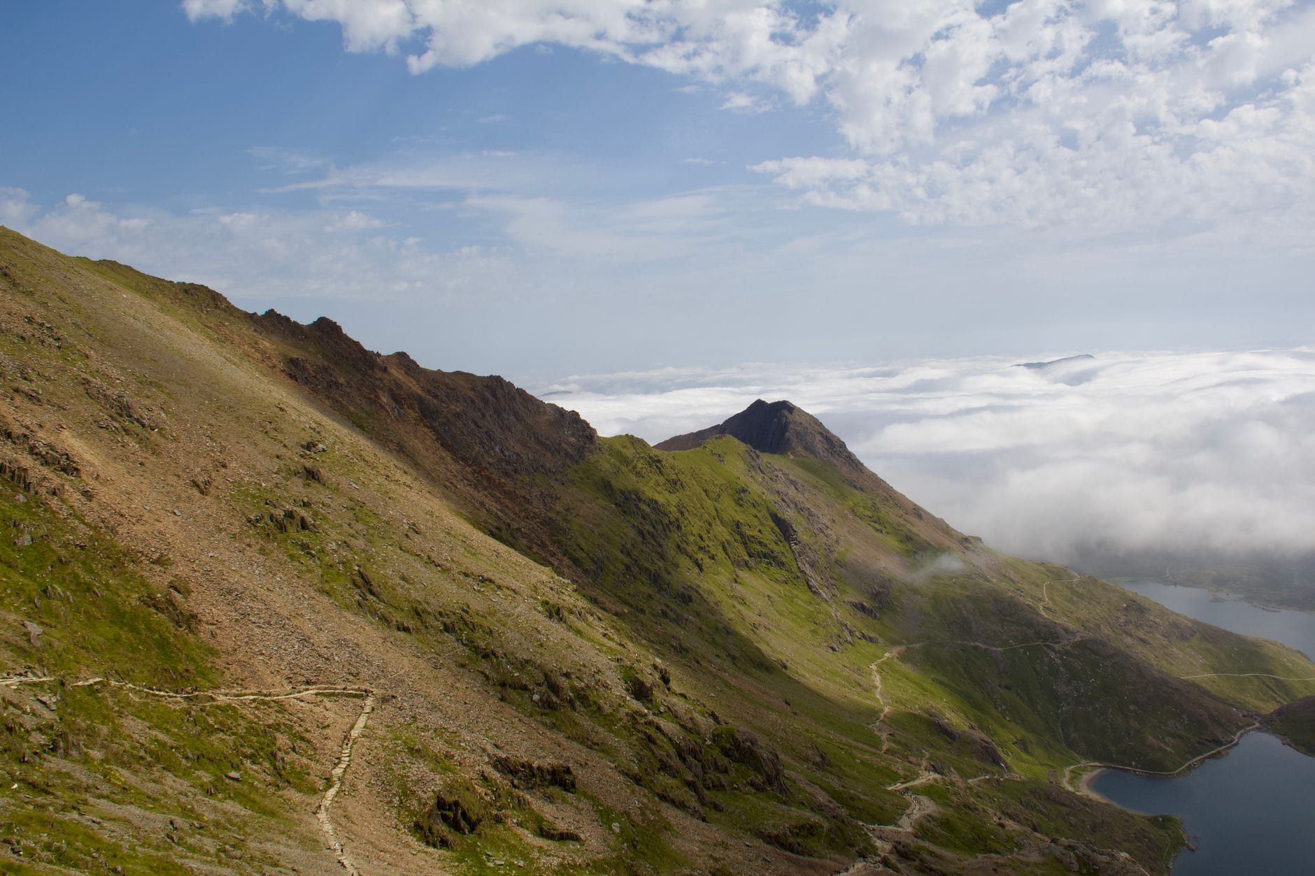
The national park authority is blunt about it: parts of the Pyg Track lead towards Crib Goch, a 400m knife-edge ridge that is an extremely dangerous and technical climb. It is not a walking route, and every summer people who treated it as one need rescuing. If you want the full Snowdon Horseshoe, see the hard-hikes section — and only in calm, dry, clear conditions.
If you'd rather not walk up at all
The Snowdon Mountain Railway has run from Llanberis since 1896, and a diesel return costs £45 off-peak (£48 peak) for about 2.5 hours including 30 minutes at the summit. One catch worth knowing: a return ticket is only valid boarding at Llanberis — you cannot hike up and ride down on it. Single up-tickets are sold online; single down-tickets are first-come at the summit only.
Whatever route you choose, parking at Pen-y-Pass must be pre-booked from April to October — the full playbook is in the planning section at the end.
Best Hard Hikes in Snowdonia for Big Mountain Days
These four days are for fit, experienced hillwalkers comfortable with scrambling, route-finding and exposure. They're also the quietest big days in the park — the crowds funnel onto Yr Wyddfa while these ridges stay half-empty.
Snowdon Horseshoe via Crib Goch
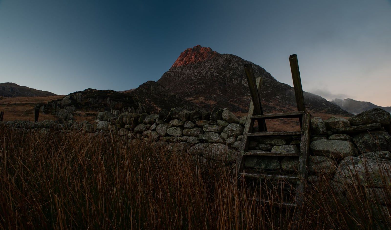
Roughly 11.5km with 1,161m of ascent over 6–8 hours, taking in Crib Goch's knife-edge, Garnedd Ugain and Yr Wyddfa before descending the Llanberis Path or back over to Pen-y-Pass. The grade 1 scrambling on the ridge is sustained and exposed — one slip is fatal, so this is a calm-conditions-only route. More than 600,000 people climb the mountain each year; a tiny fraction of them should be doing this route.
Tryfan North Ridge
Only 4km and 469m of ascent, but it's hands-on almost from the valley floor — a grade 1 scramble with no fixed line, where you pick your own line up the rock above the Ogwen Valley. Two to three hours for the ridge alone. Strong parties continue over Glyder Fach and Glyder Fawr for a full Glyderau day; the rest walk down the south side and back along the A5.
Glyderau circular from Gwern Gof Uchaf
This 13.5km loop with around 1,200m of ascent exists specifically to avoid the scrambling — you get Glyder Fawr and Glyder Fach's surreal summit boulders on walkers' paths. It's a big step up from Yr Wyddfa in both ascent and route-finding, so treat it as a navigation day as much as a leg day. The view over the Devil's Kitchen and across to Tryfan is the payoff.
Carneddau ridge over Pen yr Ole Wen
A 15km loop with roughly 900m of ascent, topping out on Carnedd Llewelyn at 1,064m — the second-highest summit in Wales, and usually wearing a fraction of Snowdon's crowd. The ridge from Pen yr Ole Wen is long, broad and exposed to weather, so it's a superb quiet day in good conditions and a miserable one in cloud. Start from the Ogwen Valley side.
Nantlle Ridge from Rhyd Ddu
About 12km and 800m of ascent along a line of summits that feels a world away from the Snowdon circus three miles east. It's linear — the traditional route includes a short grade 1 scramble that can be walked around, making it a rare hard day that a non-scrambling partner can share. There's no convenient bus, so you'll need two cars or a pick-up.
One rule for all of them: set a turn-back point before you start. Met Office guidance for Eryri warns gusts over 50 mph can blow walkers over, and the park publishes Yr Wyddfa ground-condition reports through the colder months — check both the night before and again in the morning.
Best Moderate Snowdonia Hikes (Big Views, Manageable Days)
This is the tier most visitors actually want: real summits, no ropes, no knife-edges. Four picks, each a proper mountain.
Y Garn via Devil's Kitchen
Eight kilometres and 714m of ascent in 3.5–4.5 hours buys views across the Carneddau, Glyderau and Snowdon massif — arguably the best view-per-effort ratio in the park. The route climbs past the black cliff amphitheatre of Devil's Kitchen above Cwm Idwal. It's short enough for a sunrise or sunset outing, which is exactly when to do it.
Moel Siabod
A solitary 872m summit above Capel Curig, usually done as a 9.2km loop with 738m of ascent. On a clear day you can pick out 13 of the 14 Welsh 3000s from the top — a summit quiz with only one right answer missing. Because it stands alone rather than in a range, it catches weather from every direction, so check the forecast before committing.
Cadair Idris via the Minffordd Path
Ten kilometres and around 850m of ascent (4–5.5 hours) through the southern Snowdonia classic, passing Llyn Cau in its dramatic corrie below the summit. The whole area is a National Nature Reserve with rare ice-age alpine flora, and it's a genuine swim spot in summer if you can face the temperature. At roughly 90 minutes' drive from Llanberis, it also escapes the north's crowds entirely. Basing near Dolgellau? This is your mountain.
Cnicht and the Moelwyns
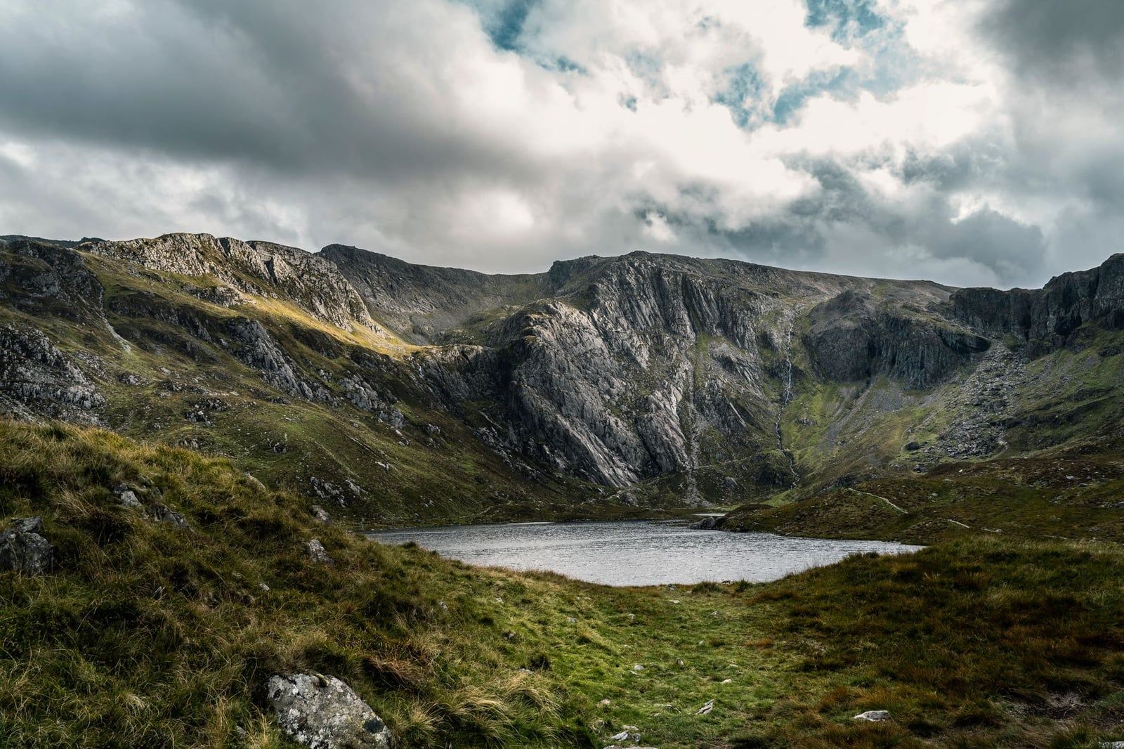
From the village of Croesor, a 12.1km circuit with 649m of ascent (4–5.5 hours) climbs Cnicht — the 689m peak known as the "Matterhorn of Wales" for its pyramid profile seen from the west. The ridge walks beautifully, and the Moelwyns behind it are among the quietest proper mountains in the park. If Snowdon's car parks have beaten you, come here instead.
Best Easy Hikes & Family Walks in Snowdonia
Short, low-gain and on decent paths — waterfalls, lakes and legends. These are the walks that fill the rest of a week, or the whole trip if you've small children in tow. More waterfall walks in Snowdonia are covered in our separate guide.
Aber Falls
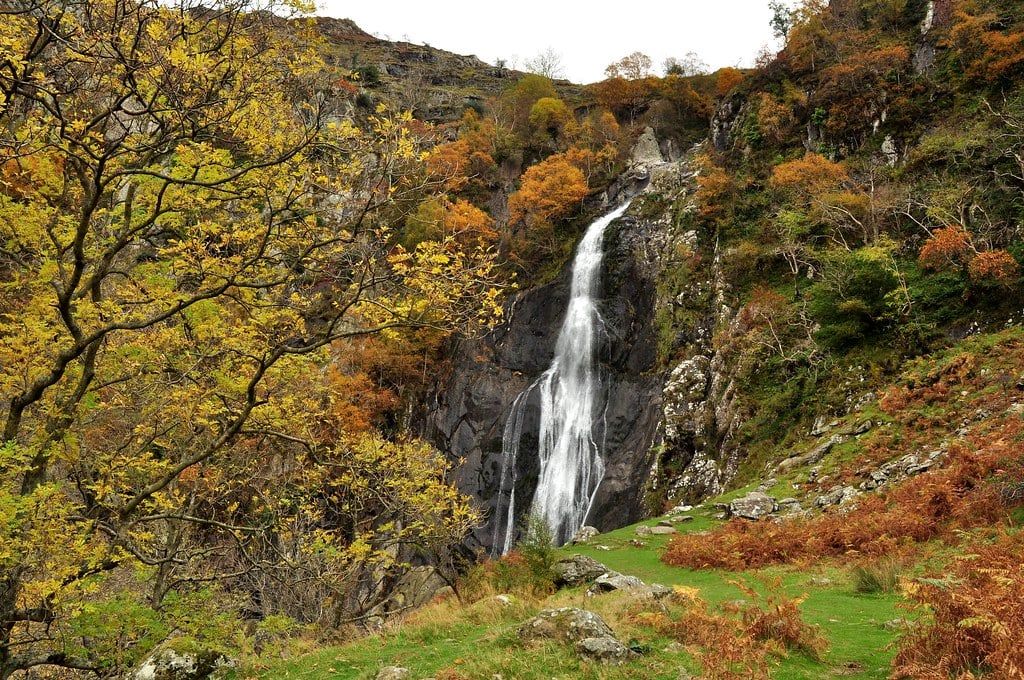
The flagship easy hike: a 6.9km circular with 305m of ascent (2–3 hours) to a waterfall that drops 37m in one leap. The path is well-made and the last stretch to the falls is gentle. Start from the car park at Abergwyngregyn, off the A55 — it's the most accessible big waterfall day in the park.
Cwm Idwal and Llyn Idwal
A 4.3km loop with barely 95m of ascent, done in an hour to ninety minutes around a glacial cirque inside Wales' oldest National Nature Reserve. The lake is a legendary (and bracing) wild swim, ringed by the cliffs of Y Garn and the Devil's Kitchen. Toddlers can do the flat first half; the back of the loop climbs a little above the shore.
Llyn Ogwen circular
Four point nine kilometres, 95m of ascent, an hour to ninety minutes — and the whole way you're walking beneath Tryfan and the Glyderau. It's the best big-mountain scenery per step in the park, and the National Trust car park at the head of the lake puts you straight onto it.
Llyn Padarn
An 8.2km lakeside loop with 212m of ascent (2–3 hours) from Llanberis, with Yr Wyddfa standing over the far shore. Much of it is on good track, and it's the walk to save for a wet day — the valley floor holds weather far better than the summits. The Llanberis Lake Railway runs alongside if anyone's legs give out.
Llyn Elsi from Betws-y-Coed
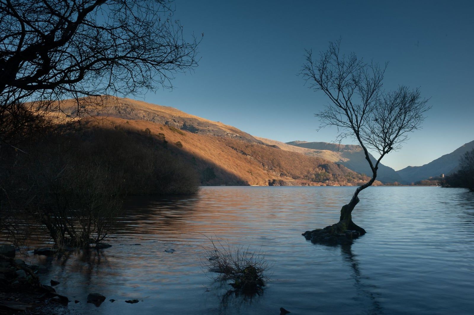
Starting straight from the village, this 6.1km walk climbs 295m through forest to a quiet lake (2–2.5 hours). It's the rare trail you can do without a car from Betws-y-Coed, and the lake's sheltered setting makes it another solid rainy-day option. Refuel in the village after — you've earned the café.
Swallow Falls and Fairy Glen
A 3.5km riverside walk with 127m of ascent (1–1.5 hours) from Betws-y-Coed out to the falls, finishing at the Ty Hyll tearoom — a walk that ends in cake is a walk children finish. Conwy Falls sits a short drive east for a second cascade. Both are at their best after rain, which in Snowdonia is not a rare event.
Rhaeadr Ddu and Coed Ganllwyd
A tiny 2.1km woodland loop (30 minutes to an hour, 116m of ascent) to a waterfall hidden in oak woods near Ganllwyd on the southern edge of the park. Go after heavy rain — the falls go from a trickle to a roar. There's no easier walk on this list.
Aberglaslyn Pass and Llyn Dinas from Beddgelert
From the village of Beddgelert — named for the faithful hound Gelert, whose grave sits by the river — a gorge-and-lake walk threads the Aberglaslyn Pass, one of the most photographed stretches of water in Wales, then returns past Llyn Dinas. The terrain is modest and the scenery isn't. National Trust waymarks cover the routes; allow a relaxed half-day with stops.
Beyond One Day: The Welsh 3000s & Snowdonia Slate Trail
The Welsh 3000s is the park's badge-of-honour challenge: all 15 Welsh peaks over 3,000ft — every one of them in Snowdonia — inside a single 24-hour window. That's roughly 48km with about 3,700m of ascent, strung across the Snowdon massif, Glyderau and Carneddau. Most teams train for it, recce it in sections, and run it with support. If that's not you, walking the three ranges over three separate days delivers the same summits at human speed.
The Snowdonia Slate Trail is the other multi-day option: an 83-mile (134km) circular from Bangor through the quarrying villages of the UNESCO-listed North Wales slate landscape. It's a culture walk as much as a mountain one, linking mines, inclines and towns the summit crowds never see. Most people take five to eight days and split it into sections.
When to Hike in Snowdonia: Seasons, Crowds & Weather
Late spring to autumn is the walking season, and June and September are its sweet spots — steadier weather and far thinner crowds than the July–August school-holiday crush. August is warm but it's both the busiest month on the paths and among the wettest, averaging around 14 rainy days. Book accommodation months ahead for summer, and start popular routes before 8am.
Winter is a different sport. From November to February the higher routes hold snow, ice and gales, daylight shrinks to under eight hours, and high ground becomes experienced-mountaineer territory with crampons and an axe. The valley and lakeside walks above stay doable year-round — see our guide to Snowdonia in winter for the details.
Mountain weather here turns fast in any season: the summit can sit in cloud while the valley bakes. Start early, carry waterproofs regardless of the forecast, and expect visibility to vanish on high ground. On genuinely wet days, swap the summits for the sheltered Llyn Elsi or Llyn Padarn loops — or browse things to do in Snowdonia beyond the fells.
Planning Your Trip: Parking, Transport, Bases & Staying Safe
Pen-y-Pass is the pinch point for every Yr Wyddfa walker. From April to October the car park must be pre-booked in advance — it holds just 68 spaces at £25 for up to 8 hours, and they sell out fast. The alternative is the Nant Peris Park & Ride (£5/day, card only) or Llanberis, with the Sherpa'r Wyddfa bus linking both to Pen-y-Pass: £3 for a single, £5.50 for a day ticket, children £1. For the wider journey, our guide to getting to Snowdonia covers trains and driving routes, including the London to Snowdonia run.
Linear walks need a plan. The Nantlle Ridge and any one-way Carneddau day have no convenient bus at the far end, so it's two cars, a pre-arranged pick-up, or an out-and-back instead.
Where you base yourself should follow the walks you've chosen:
- Llanberis — Yr Wyddfa, the Llanberis Path and the railway.
- Betws-y-Coed — waterfalls, Llyn Elsi and easy family walks.
- Beddgelert — Aberglaslyn, Llyn Dinas and the quiet south side of Yr Wyddfa.
- Dolgellau — Cadair Idris and the southern ranges.
Full options are in our places to stay in Snowdonia guide; if you'd rather leave the logistics to someone else, guided hikes and tours handle transport and route-finding for you.
Safety kit is unglamorous and non-negotiable: a paper map or offline GPS (the free Llwybrau'r Wyddfa app works), warm layers, waterproofs, food, water and boots with ankle support — twisted ankles are among the most common injuries in the park. Check the Met Office mountain area forecast and the park's ground-condition reports before you set out, and decide your turn-back point in advance. Mountain rescue exists, but it's a safety net, not a taxi service.
Wild camping, finally: most land in the park is privately owned and camping without the landowner's permission is not legal — and camping in car parks or on roadside verges is banned outright. Use a campsite (our Snowdonia camping guide lists them), follow the Countryside Code, and take all litter home. There are no bins anywhere on Yr Wyddfa, fruit peel included.
Frequently asked questions
What is the easiest hike in Snowdonia for beginners?
The Cwm Idwal loop (4.3km, 95m of ascent, 1–1.5 hours) is the easiest proper walk; Aber Falls (6.9km, 305m, 2–3 hours) is the classic first waterfall hike. For a first summit, the Llanberis Path is the gentlest route up Yr Wyddfa at 14.6km with a forgiving gradient.
How long does it take to climb Snowdon (Yr Wyddfa)?
Allow 6–8 hours return on any of the six routes. The Pyg Track up and Miners' Track down takes 4.5–6.5 hours; the Llanberis Path and Watkin Path take 5.5–7.5 hours; the Snowdon Horseshoe takes 6–8 hours. Fitness, weather and crowds move these numbers considerably.
Do you have to pre-book parking at Pen-y-Pass?
Yes. Pen-y-Pass is pay-and-display but spaces must be pre-booked from April until October — there are only 68 and they sell out quickly. If it's full, park at Nant Peris (£5/day) or Llanberis and take the Sherpa'r Wyddfa bus up the pass.
Is Crib Goch dangerous?
Yes. The Eryri national park authority describes Crib Goch — a 400m knife-edge ridge — as an extremely dangerous and technical climb. It's a grade 1 scramble for experienced scramblers only, in calm, dry, clear conditions, and it should never be attempted in cloud, wind or rain.
Can you drive or take a train to the top of Snowdon?
You can't drive up, but the Snowdon Mountain Railway has run from Llanberis since 1896. A diesel return takes about 2.5 hours including 30 minutes at the summit and costs £45 off-peak or £48 peak per adult. Note you can't hike up and ride down on a return ticket.
Is wild camping legal in Snowdonia?
Not without permission. Most land in the national park is privately owned, so camping without the landowner's consent is not legal, and camping in car parks or on roadside verges is banned at all times. Use one of the park's official campsites instead.
When is the best time of year for Snowdonia hikes?
Late spring to autumn. June and September balance the most reliable weather with thinner crowds; July and August are warm but busy and wet; from November to February the high routes demand winter skills and equipment, though lower valley walks stay open all year.
Do you have to pay to hike in Snowdonia?
No. Access to the national park is free and open 24/7, with no permits needed to walk. Your costs are parking (Pen-y-Pass £25 for up to 8 hours pre-booked, Nant Peris £5/day) and optional extras like the mountain railway.
Sources
- eryri.gov.wales/visit/plan-your-visit/guides/yr-wyddfa-choosing-the-right-path
- eryri.gov.wales/visit/snowdon/pen-y-pass-car-park/
- eryri.gov.wales/
- snowdonrailway.co.uk/plan-your-visit
- weather.metoffice.gov.uk/specialist-forecasts/mountain/snowdonia
- visitwales.com/things-do/adventure-and-activities/walking/walking-yr-wyddfa-wale